


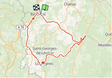

12,5 km | 17,7 km-effort


Usuario


Aplicación GPS de excursión GRATIS
 SityTrail
IGN / Institutos geográficos
SityTrail World
El mundo es suyo
Ruta Bicicleta de 86 km a descubrir en Occitania, Lozère, La Canourgue. Esta ruta ha sido propuesta por tracegps.
Les 09 et 10 Mai 2009 Après 4 éditions à vif succès, LVO (Ludovic Valentin Organisation) compte faire franchir un cap à l’évènement pour marquer cette cinquième édition anniversaire. En 2009, l’épreuve sera toujours inscrite au calendrier du challenge national « Cyclo’tour » et y figurera comme la deuxième manche, après l’ouverture de saison faite dans le Vaucluse. En basant l’évènement à La Canourgue le 10 mai prochain, l’accueil des coureurs sera à son meilleur niveau : un site accessible, bien desservi, de taille importante et adapté à l’évènement. Les nouveautés pour 2009 : En plus de proposer une cyclosportive le dimanche, nous mettons en place une randonnée sur 2 jours proposant ainsi à public différent de profiter lui aussi des routes et sites lozériens remarquables. Organisée sur 2 jours, cette randonnée permettra d’accueillir des participants pour une durée plus importante, transformant La Lozérienne en un véritable week-end touristique en même temps qu’une compétition cyclosportive de masse. De plus, l’implication et la collaboration déjà importante avec les associations locales (comité des Fêtes de Banassac), seront renforcées par l’arrivée du côté de l’organisation du club « les Cyclos du Malpas » tout comme d’autres associations locales.


Marcha nórdica
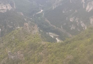
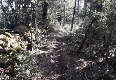
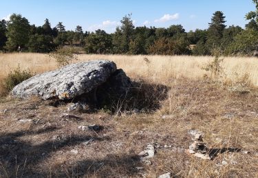
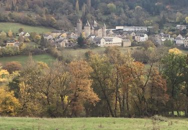
Senderismo
Senderismo
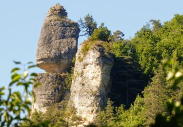
Senderismo
Senderismo
Senderismo

Otra actividad
Otra actividad
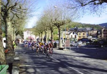
Bicicleta